
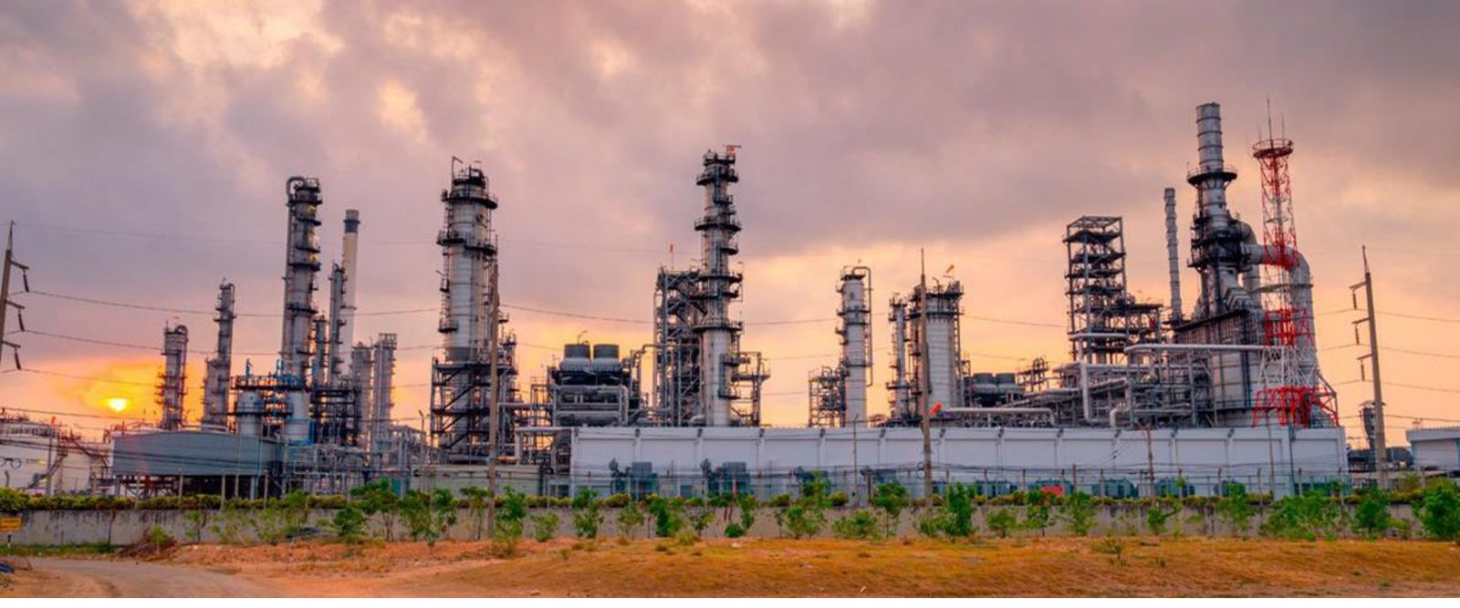
RealTrac for oil and gas: a modular industrial safety system
Explosion-proof personnel positioning and collision avoidance for oil refineries, pipeline routes and offshore drilling platforms.
RealTrac industrial safety system for the oil and gas industry
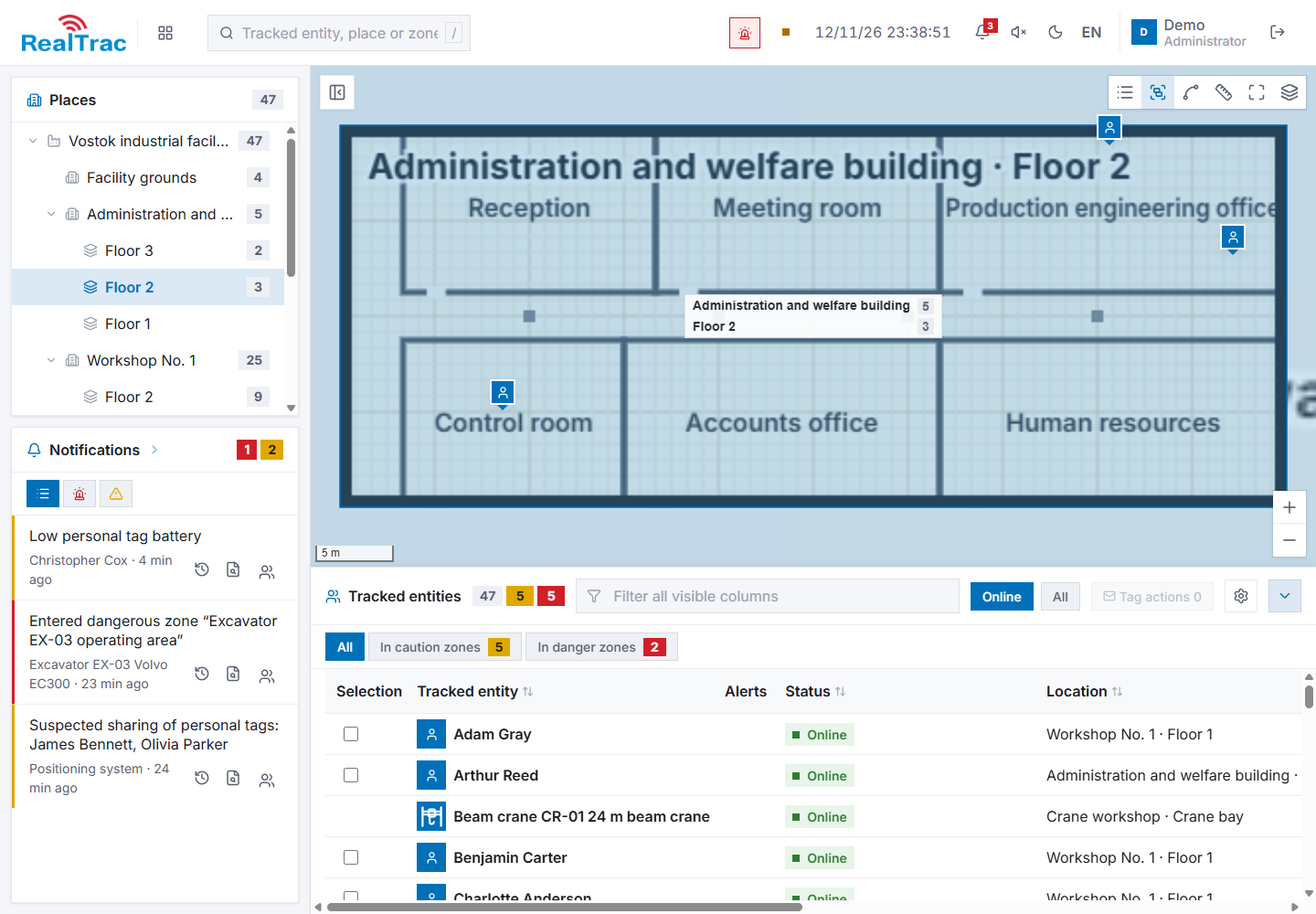
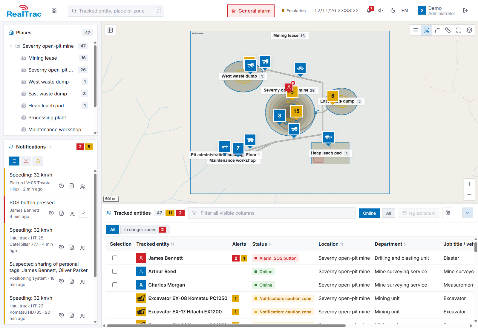
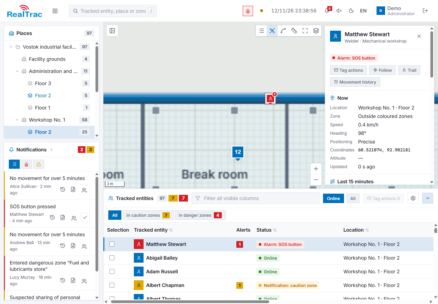
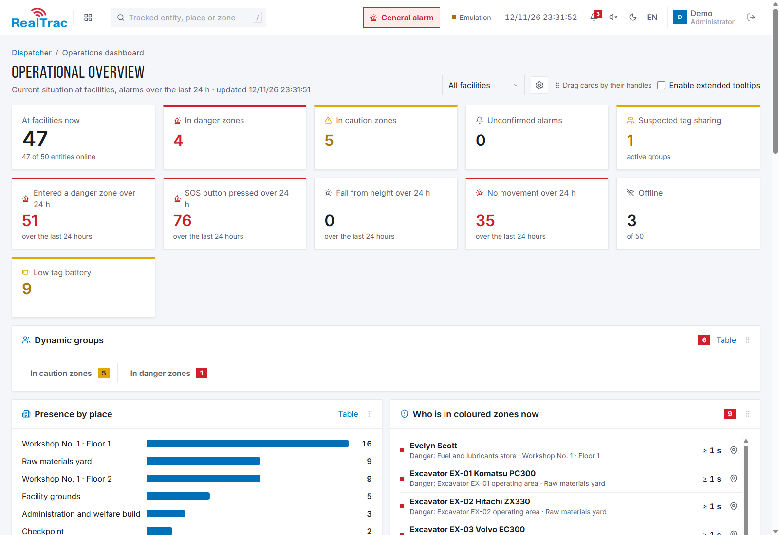
Screenshots show demonstration data; the interface is shown in English.
RealTrac for oil and gas is a modular industrial safety system for oil refineries and petrochemical plants, pipeline routes and offshore drilling platforms. It is based on explosion-proof positioning of personnel and vehicles (UWB, BLE, GNSS) and on RealTrac Collision Avoidance System (CAS).
The system locates every employee indoors with an accuracy of up to 1 m and in open areas with an accuracy of 3–5 m, sends alarms from the tag to the dispatcher and back, and integrates with portable gas detectors, electronic work permits, access control systems and video surveillance. Tags and access points are explosion-proof.
Problems we solve
- Vehicles hitting people.
- Collisions between vehicles.
- Finding people quickly in an emergency.
- Confirming that nobody is left in hazardous zones.
- Low personnel efficiency.
Key tasks the system solves
Personnel location in an emergency zone
Real-time location of personnel in an emergency zone.
Headcount at the muster point
Fast count of missing people at the muster point during an evacuation.
SOS, man-down, no motion
Location of a person after an SOS button press, a fall or a no-motion event.
Search for lost workers
Search for lost workers at a distance of up to 5 km outside 2G / LTE coverage.
Drone threat and other emergency alerts
Individual alerts to every employee through their personal tag.
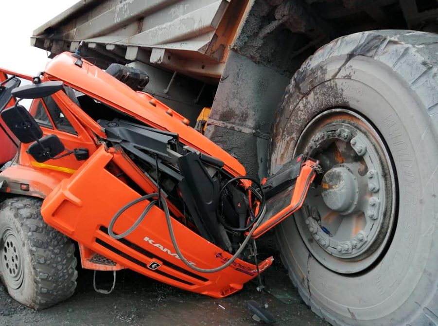
Collision avoidance
Control of dangerous proximity between vehicles and people and between vehicles with RealTrac Collision Avoidance System (CAS).
How the positioning system works
Learn more about the productAn employee's personal tag determines its position by GNSS in open areas and by UWB / BLE access points inside buildings, with seamless switching between outdoors and indoors. Data is sent to the RealTrac server over the primary LTE / pLTE channel and the backup LoRa channel; when there is no connection, the tag stores its track and uploads it once the connection is restored. The dispatcher sees personnel on the map, receives alarms and generates reports.
Positioning types
Zonal
Technology: BLE
- Accuracy: ±20 m
- Indoors and in limited outdoor areas
- Tag battery life: up to 2 years
Precise
Technology: UWB
- Accuracy: 0.1–2 m
- Indoors and in limited outdoor areas
- Tag operating time per charge: up to 5 days
Hybrid
Technologies: BLE, UWB, GNSS
- Accuracy: 1–3 m
- Indoors and in open areas
- One technology and one personal tag for indoors and outdoors
Indoor positioning
- Tag position in three axes with 1 m accuracy and a location update every 1 s.
- Detection of entry into hazardous zones and work zones.
- Rooms are equipped with UWB / BLE access points; switching between outdoors and indoors is seamless.
- Personal and group alarms from the tag to the dispatcher and back.
- Integration with a portable gas detector: alarms when gas concentration limits are exceeded, with the leak location. Up to four gases: CH4 (methane), CO (carbon monoxide), CO2 (carbon dioxide), O2 (oxygen).
Positioning in open areas
- Positioning accuracy in open areas: 3–5 m.
- Data transmission to the server over LoRa or 2G / LTE; positioning within a radius of 3–5 km from a LoRa base station.
- Detection of entry into hazardous zones and work zones, personal and group alarms.
- Integration with a portable gas detector and alarms when gas concentration limits are exceeded.
With RealTrac's proprietary LoRa protocol, position updates and alarms are transmitted dozens of times faster than with standard LoRaWAN: with 300 tags per shift, the position is updated about every 3 s, compared with every 30–45 minutes for alternative LoRaWAN tags.
| Number of tags | Location update rate (RealTrac protocol) |
|---|---|
| 100 tags | every 1 s |
| 300 tags | every 2–3 s |
| 1,000 tags | every 5–7 s |
Individual alerts on tags depending on the incident
The public address system server receives sensor triggers (drone detector, flame, smoke and seismic sensors) and passes the event and its zone to the RealTrac positioning server through the API. The system automatically identifies the hazardous zones, finds the people and vehicles in them and sends a signal to their tags through LoRa / LTE base stations outdoors and access points indoors.
- Differentiated audible and visual indication depending on the emergency and location.
- Playback of recorded voice commands, starting from Q4 2026.
- Confirmation of receipt with a button on the tag.
Use cases at oil and gas facilities
- Monitoring of workers at processing facilities.
- Monitoring of pipeline patrol inspectors.
- Monitoring of personnel at offshore production facilities.
- Automated control of work permits.
- Integration with video analytics.
- Evacuation control.
- Monitoring of presence in green and red zones.
- Personal gas monitoring.
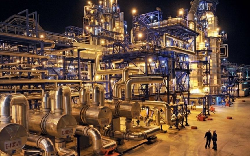
Oil refineries
- Smooth switching between precise indoor positioning (1 m accuracy) and positioning in open areas (3 m accuracy).
- Hazardous and warning zones indoors and in open areas with the corresponding alarms.
- Tag connection to the gas detection system for accurate gas monitoring.
- A fully explosion-proof system: anchors and tags.
Pipeline patrol inspectors
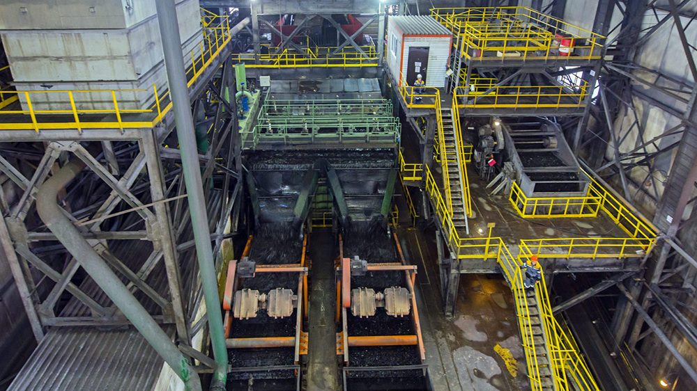
- Accurate location of employees on site (3–4 m accuracy), even without a server connection.
- Data transmission to the server in the control room over LoRa (up to 3 km) and LTE (within network coverage).
- The tag stores the person's track until a LoRa / LTE connection to the server is available.
- Reports on checkpoint visits along the route.
Offshore platforms
- Accurate location of personnel on an offshore platform.
- Detection of a man overboard, the person's location at sea and coordinates for planning the rescue vessel's route.
- Confirmation that nobody is left in the fire zone and help in choosing the muster point.
- Alerts and the person's location after an SOS button press, a fall from height or a no-motion event.
See the Drilling platforms section below for details.
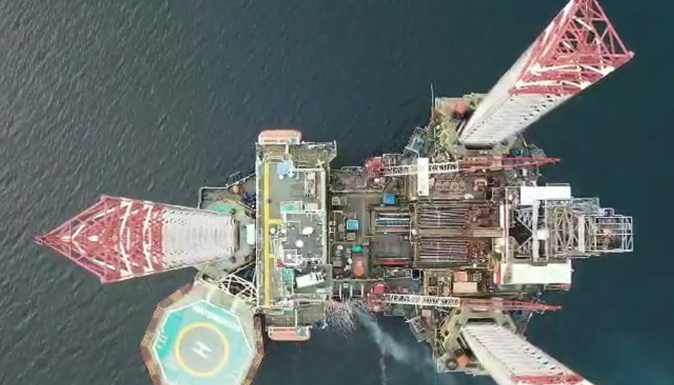
Drilling platforms: jack-up rigs, fixed offshore platforms and others
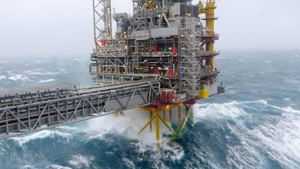
Man overboard, an emergency on board and high-risk work are three scenarios where every minute counts, yet there is no information about where people are. The RealTrac positioning system provides this information in real time at the control room and on the rescue vessel.
Reasons for implementation
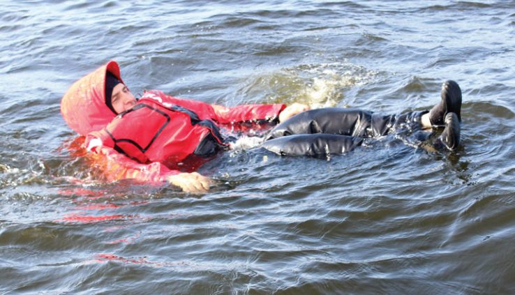
Man overboard
- How quickly the fall is reported
- Difficult search: drift with the current, darkness, rough sea
- Falls without witnesses and a late response to a missing person
Emergency on board
- Power loss in systems due to an accident
- No real-time information on employee locations and evacuation progress at the control room and on the rescue vessel
- Difficult search for casualties and delayed assistance
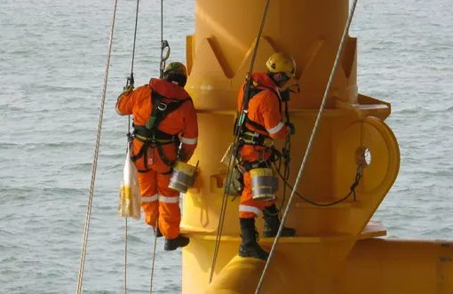
High-risk work
- Lone work in difficult conditions: time of day, weather, vessel motion
- Work at height, in confined spaces and on walkways
- Control of work permits and confirmed completion of work
How the solution addresses these tasks
Man overboard alert
Real-time positioning of a person in the water: coordinates for planning the rescue vessel's route.
Tracking personnel on board
Real-time data on falls, no-motion events and SOS button presses.
Emergency notification
Personnel alerts about an emergency, evacuation control and confirmation that nobody is left in the fire zone.
Platform geofencing
Hazardous zones with alerts for prolonged presence, control of work zones.
Solution layout
The platform is equipped with EXIA POINT 520 explosion-proof access points, a LoRa base station with a whip antenna, a server and an operator workstation. EXIA TAG 730 personal tags communicate over LoRa (regional frequency bands) at a distance of up to 5 km from the platform, including in the water. The rescue vessel is equipped with a PROD VTAG 730 vehicle tag, a Wi-Fi access point and an operator workstation: a 2.4 (5) GHz wireless link with a range of up to 5 km delivers the location of the person in the water to the vessel.
What hybrid positioning gives on the platform
- Zonal or precise positioning indoors and on all levels, including walkways.
- Positioning outside the rig and at sea using GPS, GLONASS and BeiDou satellites.
- Checkpoint function: automatic recording of the time and duration of personnel presence near specific equipment (valve, electrical panel, control device).
- LoRa feedback channel: location to the server, alarms from the server, tag buttons for emergency and functional notifications.
Solution testing on a drilling rig
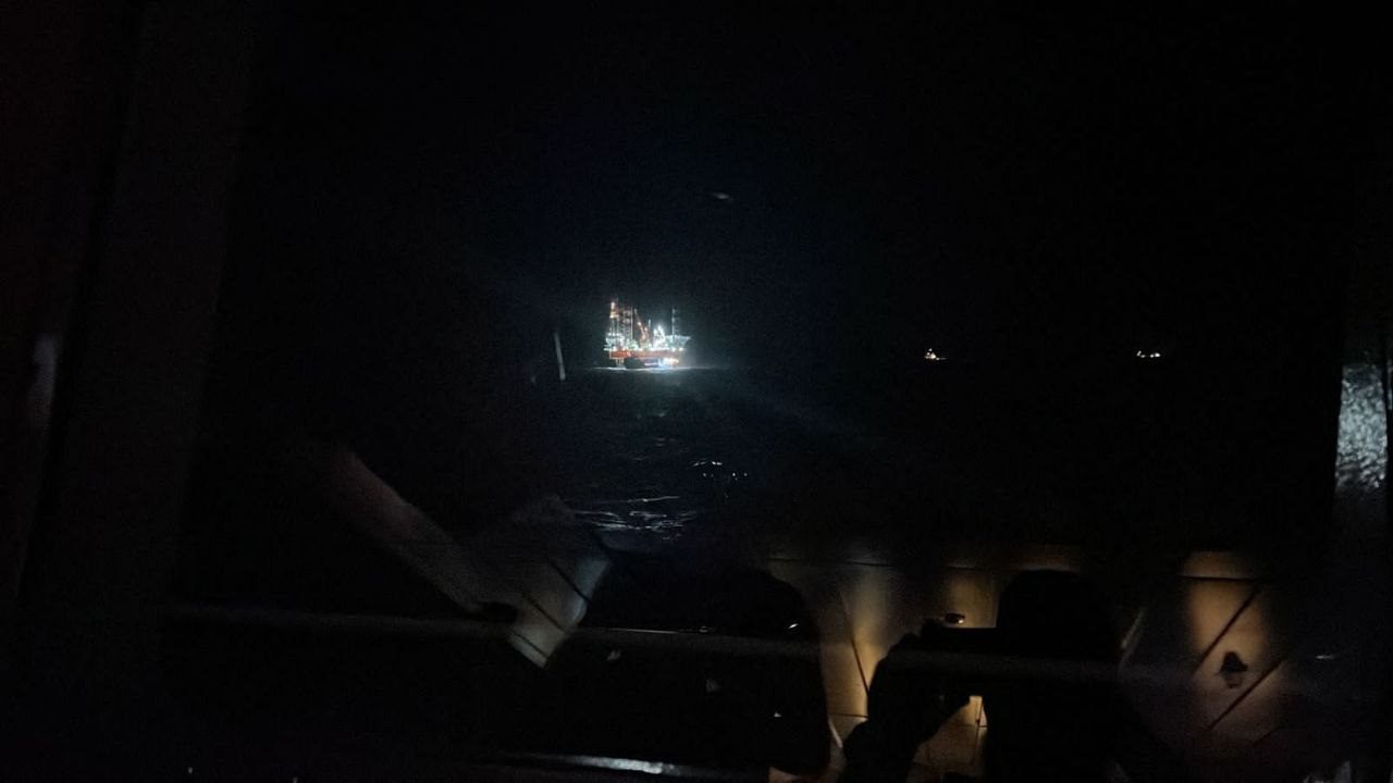
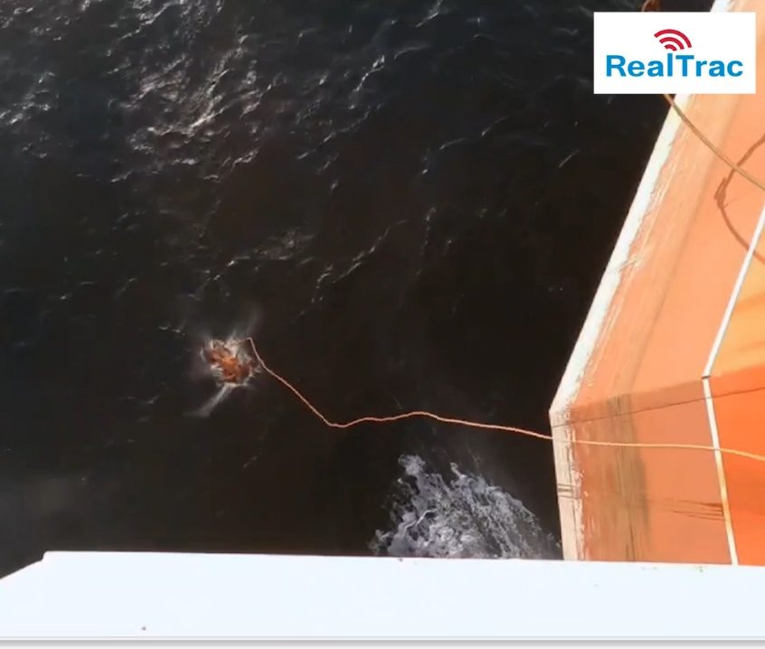
The solution was successfully tested on an offshore exploration drilling rig in the Arctic.
- The solution proved its performance in harsh industrial and weather conditions.
- A drill was held in which a dummy was dropped into the sea, then found and recovered by the rescue team, confirmed by real-time monitoring in the positioning system.
Integrations and control at an oil and gas facility
Electronic work permits
- Incident response time: from issuing the permit to the crew's actual arrival
- Comparison of the actual location of the personnel named in the permit with the plan
- Detection of a crew's absence from the work site within a set period
- Planned vs. actual labor hours and work cost calculation
- Occupational health and safety (OHS) deviations: actual crew composition, working hours
Video analytics
- Matching CCTV and video analytics data with the location of personal tags
- Double control of personnel movements and actions
- More accurate employee identification
- Faster incident response by combining visual and location data
- Friend-or-foe identification for industrial and information security of the site
Evacuation control
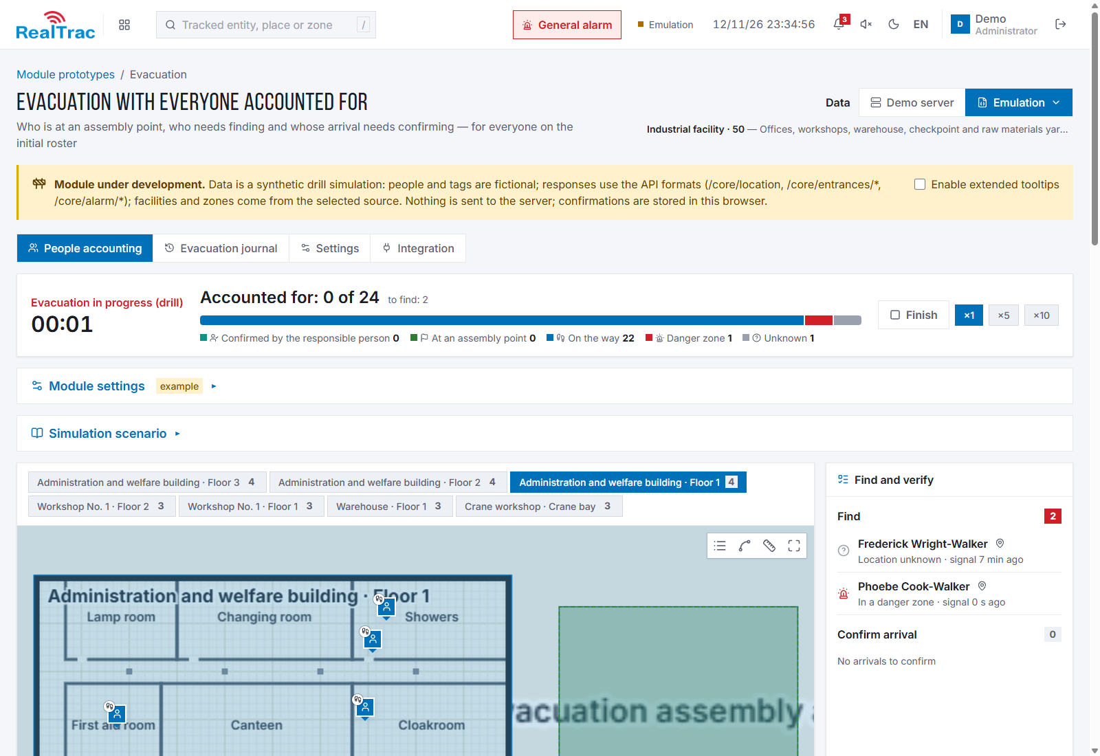
- Real-time view of tagged employees moving to the evacuation area
- Location of employees who cannot evacuate on their own
- Automatic count of evacuated people with route completion times
- Shorter response time for safety services
- Full evacuation report for analysis and process optimization
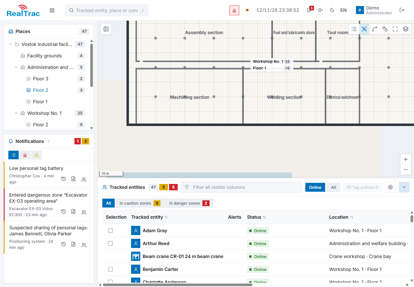
Zone presence control
- Real-time location of employees in the work zone
- Automatic recording of entry and exit times and time spent in the zone
- Alerts when the permitted time in a zone is exceeded
- Access control and monitoring of personnel in hazardous zones
- Analysis and optimization of work processes based on collected data
Equipment
All equipment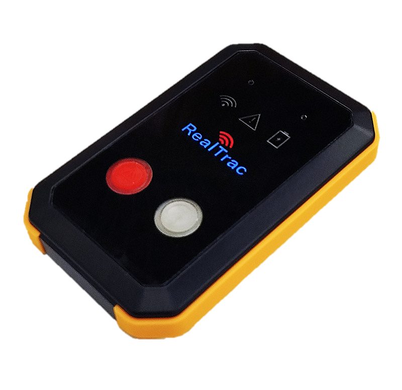
EXIA TAG 730
Explosion-proof personal tag
- BLE, UWB, UHF, GNSS: ±1 m accuracy indoors in three axes, ±3 m outdoors
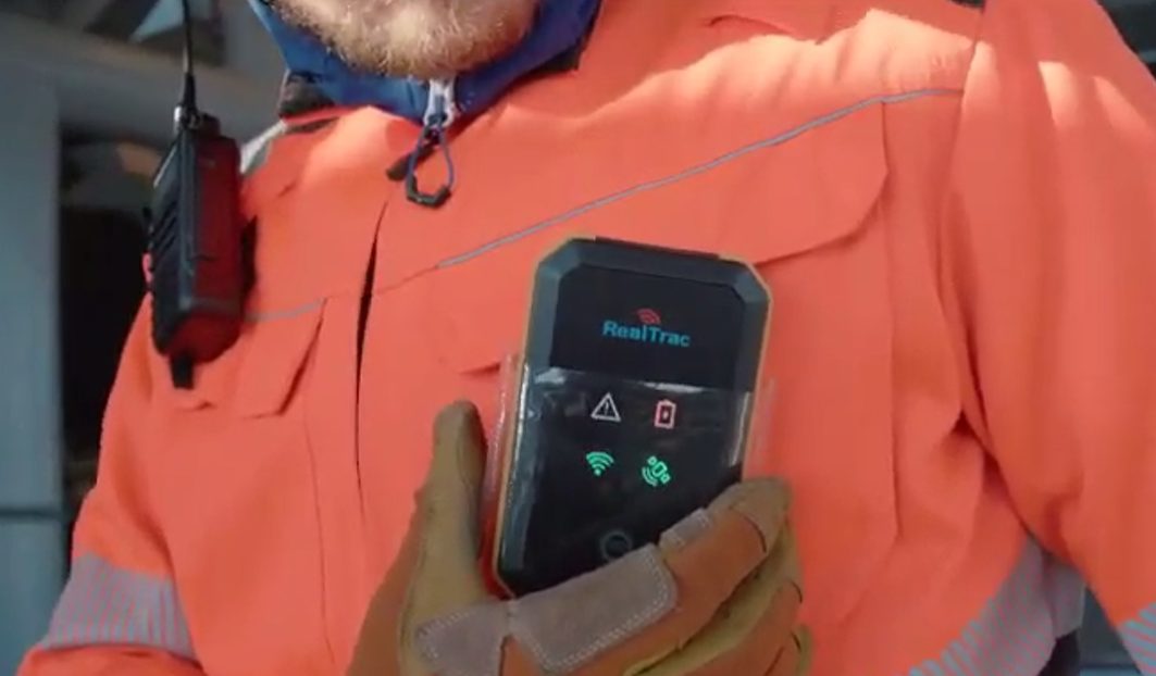
- Explosion-proof design for hazardous zones 1 and 2, IP67, a full shift at −40 °C
- Panic button, man-down and no-motion detection, NFC
- Stores up to 250,000 GNSS points without a server connection
- BLE pairing with a gas detector, RealTrac CAS support, LTE / pLTE
PROD TAG 420
Explosion-proof smartphone tag
- Android operating system
- Explosion-proof design (zones 1/2, 21/22), IP68, withstands drops from 1.2 m, −20…+60 °C
- UWB ±1 m indoors, GNSS 3–5 m outdoors
- Electronic work permits and the RealTrac interface right on the screen
- 2G / 4G (LTE), dual SIM, pLTE and MCPTT, voice alarm notifications, SOS button
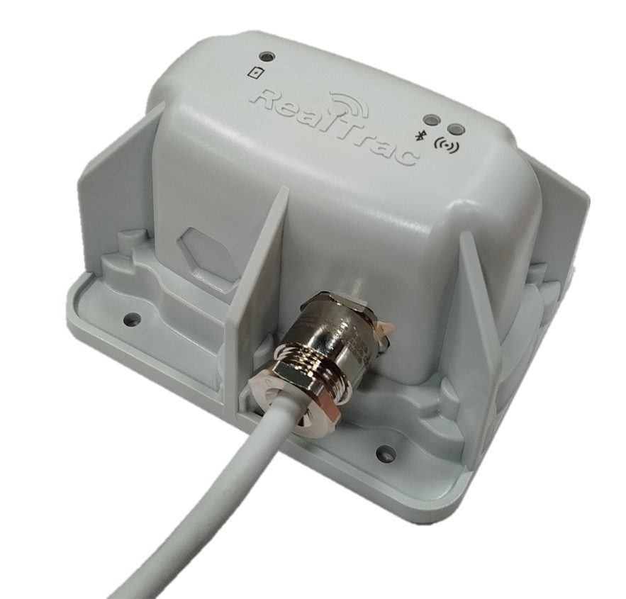
EXIA POINT 520
Explosion-proof access point
- BLE, UWB, UHF: zonal (~20 m) and precise (~0.5 m) positioning inside buildings
- Data exchange with a tag up to 100 m over UHF, 1 s update interval
- PoE power, IP69 enclosure
- The access point network can be reused for IP video surveillance and SIP telephony
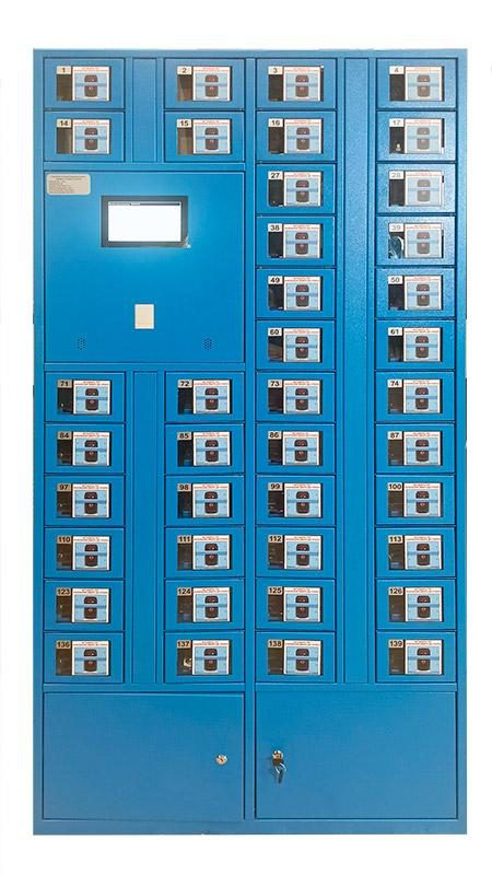
BASE ACC 621 / 673
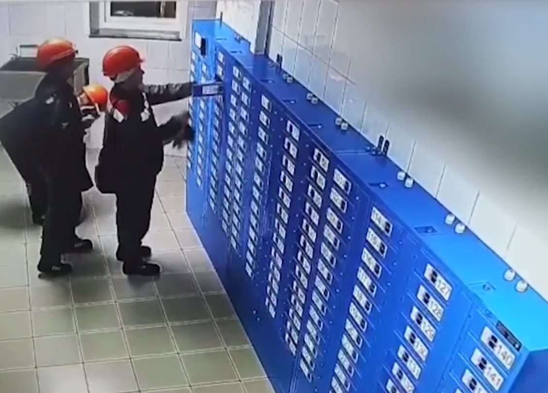
Cabinet for issuing and charging tags
- Wireless Qi charging of personal tags in up to 2 hours
- Tag assigned to an employee at issue, including by access control card (EM-Marine, MIFARE, PIN code)
- Battery charge monitoring, tag presence in the slot and correct placement for charging
- Upload of routes and hazardous zones, firmware updates
- Modular configuration for the installation site
LoRa base station
Data transmission from personal and vehicle tags
- Receives tag data at a distance of up to 3 km (up to 3–10 km on a drilling platform)
- Proprietary REALTRAC-LORA protocol: up to 3,600 sessions with each tag per hour
- 1 s polling interval for 100 tags in one radio segment
- Primary and backup channels: LTE / pLTE and LoRa
Tag issuing and access control integration
The cabinet for charging and issuing tags integrates with the site's access control system. An employee can enter the production area only after taking a charged tag from the cabinet, which links their access card to the tag: without a tag, the employee cannot access the work area.
- Wireless Qi charging of tags within 2 hours.
- Automatic reading of tag data, monitoring of battery condition and charge, tag presence in the slot and correct placement for charging.
- Upload of routes and hazardous zones, servicing and firmware updates for tags.
Software
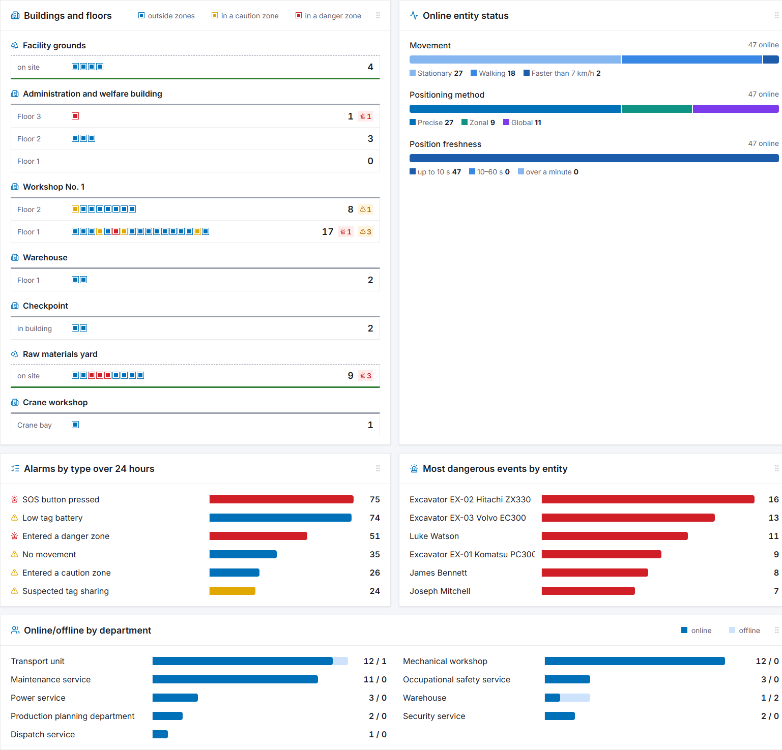
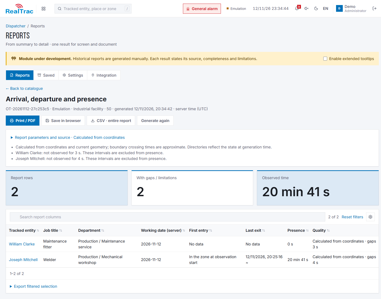
Learn more about the softwareCore modules: map with tags; movement history playback; events (tag alarms, equipment failures); reports and dashboards, API; monitoring of system operation and component failures.
Additional modules: clustered server architecture for large enterprises with distributed sites and a head office; SCADA module for tracking tag passage through defined points; integrations with third-party systems (access control, shift assignment); Keycloak for authentication and access management.
RealTrac server: analytical alerts (heat maps of personnel and vehicles, time in zones, equipment tracking), alerts to the control room about falls and entry into hazardous zones, storage of monitoring data, integration with access control and video surveillance. The server can be hosted on site, remotely or in the cloud.
RealTrac compared with other technologies
| Criterion | RealTrac (UWB, GNSS) | Other BLE / GNSS solutions |
|---|---|---|
| Positioning accuracy | ±1 m | 15–20 m |
| Entry into hazardous zones and work zones | Yes: high accuracy and position update rate | No: large errors and false alarms |
| 3D positioning | Yes: height accuracy of 2 m identifies the floor | No: large errors |
| Tag assigned to an employee | Through a charging cabinet or a reader | Usually not |
| Tag diagnostics before a shift | Smart charging cabinet | Usually not |
| Jamming resistance | Higher: UWB 3.5–7.2 GHz | Lower: 2.4 GHz |
| More than 100 tags in one place | UWB keeps working by distributing airtime across frequencies and time slots (proven on projects with 1,000+ tags) | BLE stops working due to radio collisions (observed with 100+ tags) |